Now Reading: BuroLandschap curves a 400-metre floating cycling bridge through Belgium’s mining landscape
-
01
BuroLandschap curves a 400-metre floating cycling bridge through Belgium’s mining landscape

BuroLandschap curves a 400-metre floating cycling bridge through Belgium’s mining landscape

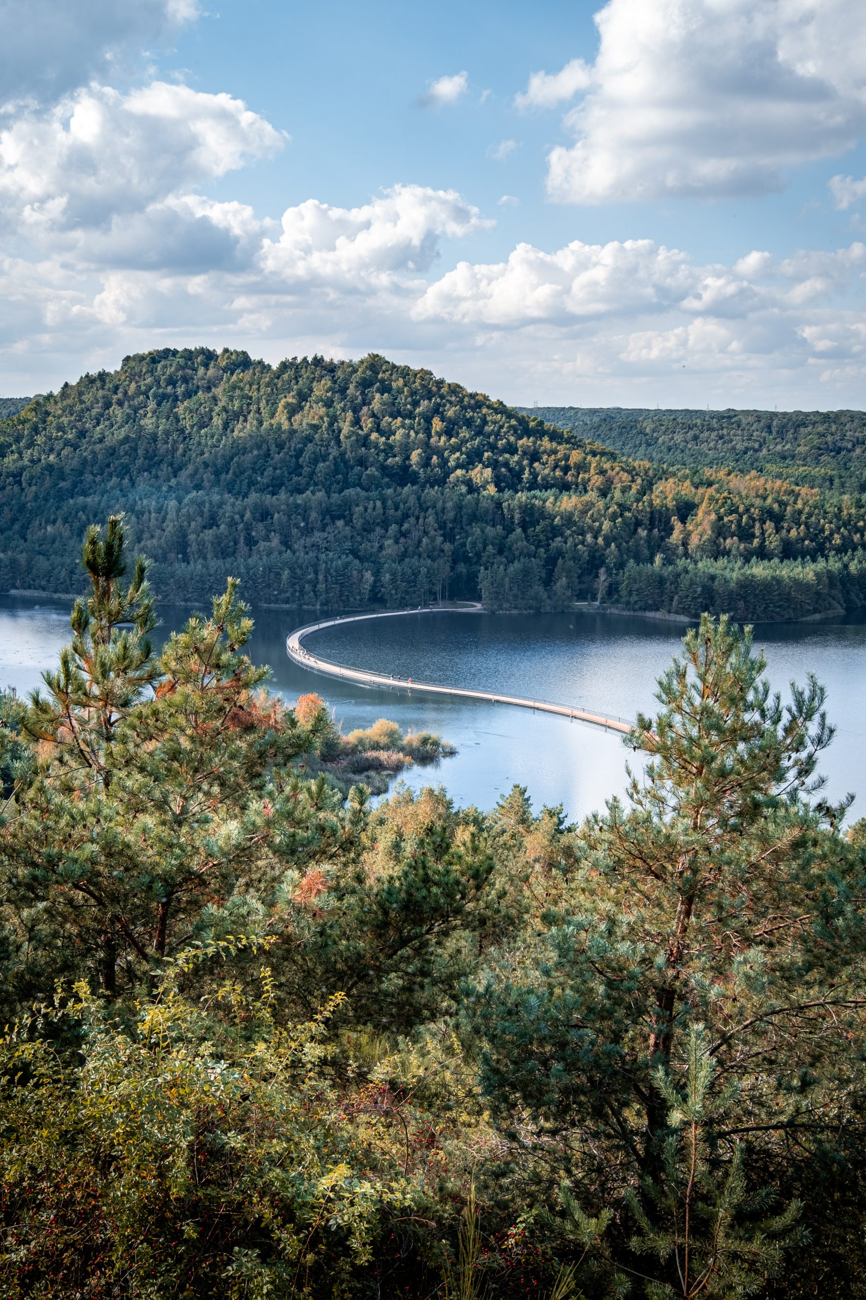
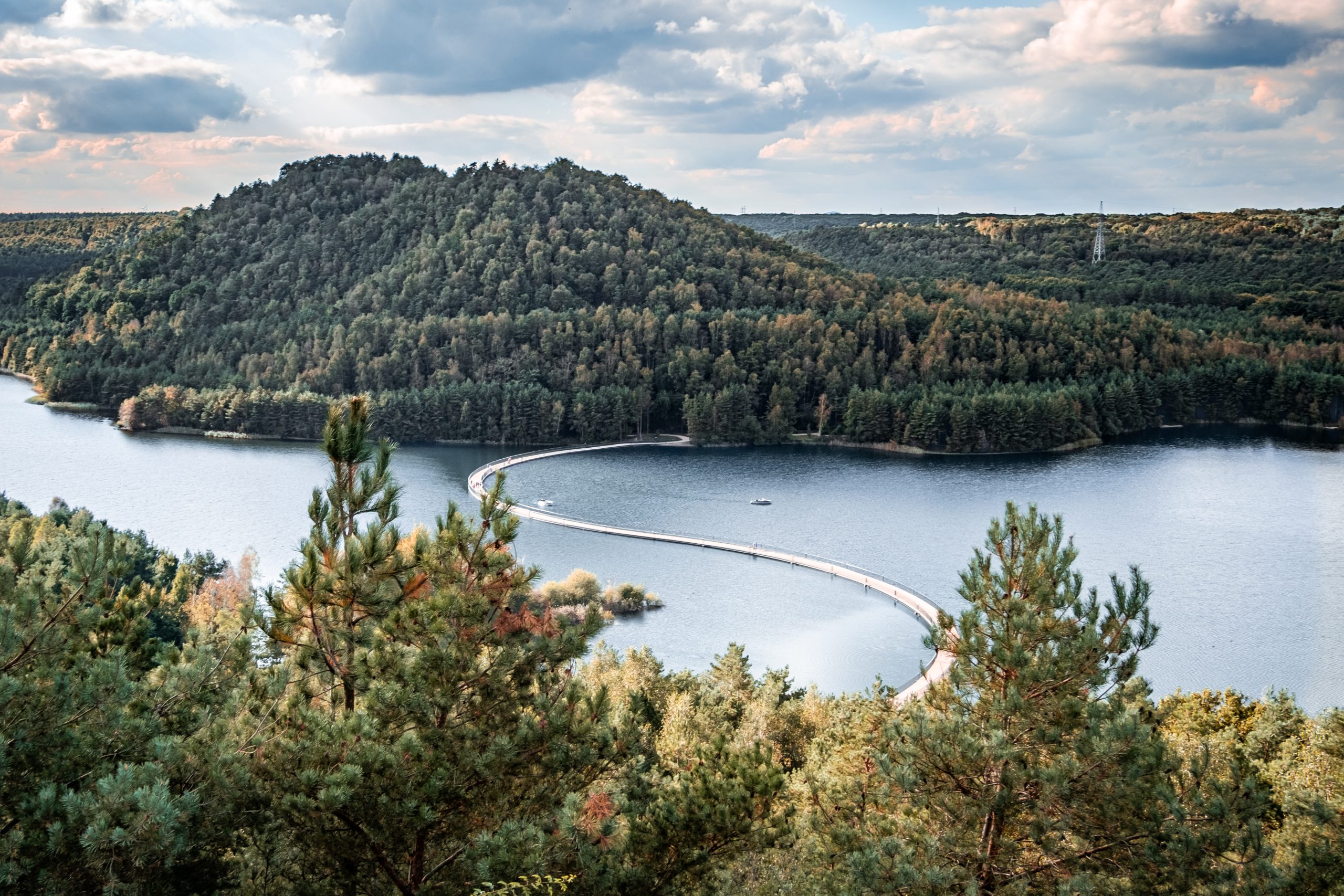
In the post-industrial landscape of Limburg, a 400-metre-long floating bridge traces a deliberate curve across the water between two former mining terrils. Designed by BuroLandschap, Cycling between Terrils transforms a missing connection in the regional cycling network into an experience shaped by the site’s industrial history, changing water levels and expansive views.
The landscape around Dilsen-Stokkem was reshaped repeatedly during the twentieth century. Coal extraction produced the characteristic spoil heaps, or terrils, while later gravel mining created the large body of water between them. Although extraction has ended, these interventions remain legible in the terrain and have become part of a wider transformation of the former mining region into a landscape for recreation, cycling and walking.
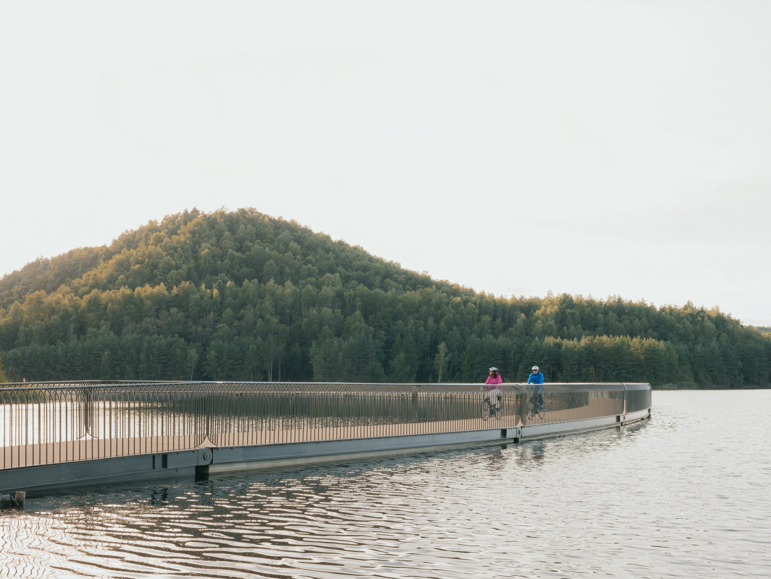
Rather than drawing the shortest possible line between the two banks, BuroLandschap used the proportions of the Golden Section as a starting point for the bridge’s geometry. The resulting arc extends the crossing and slows the movement of cyclists, continually shifting their orientation towards the water, terrils and surrounding vegetation.
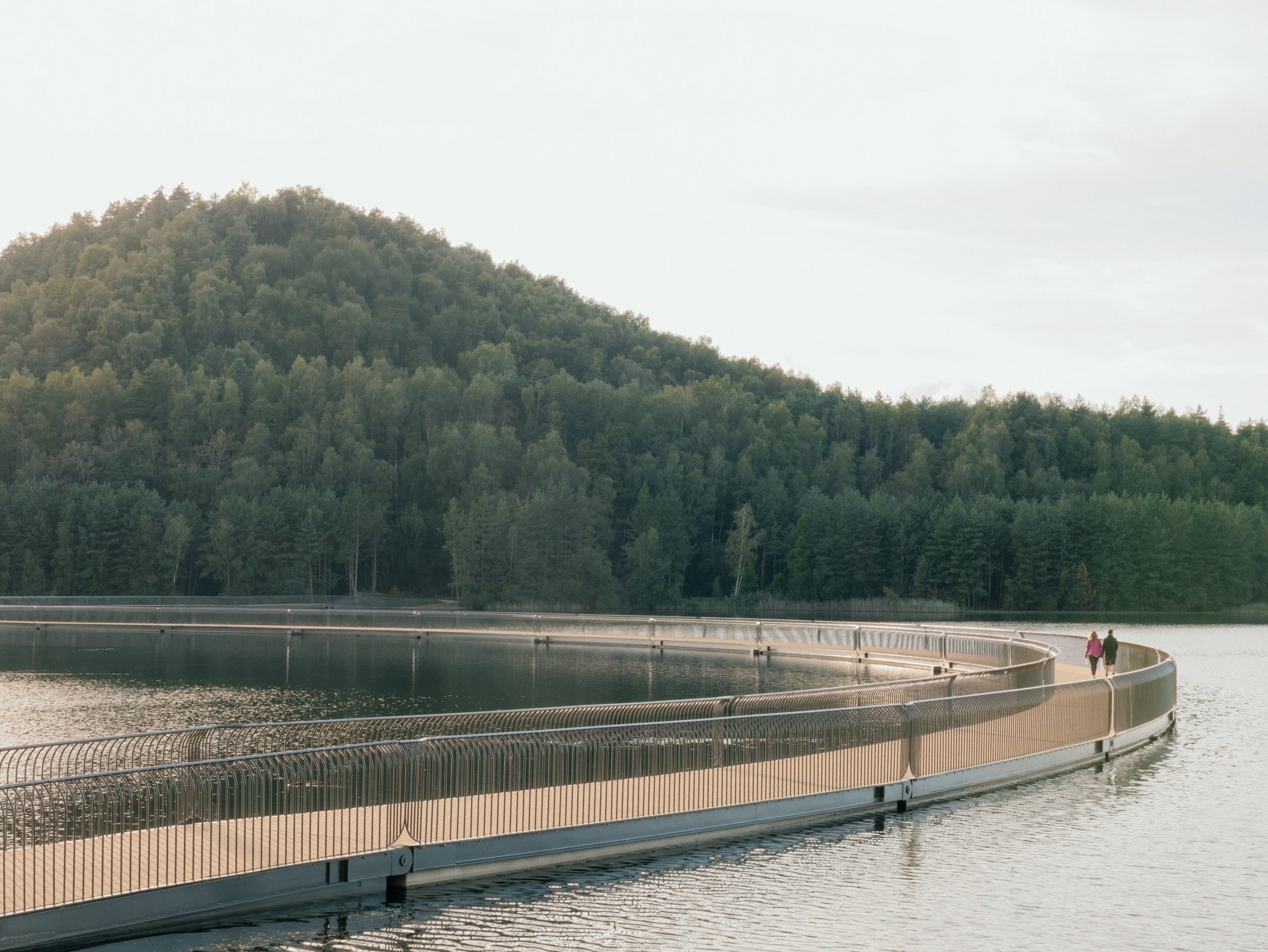
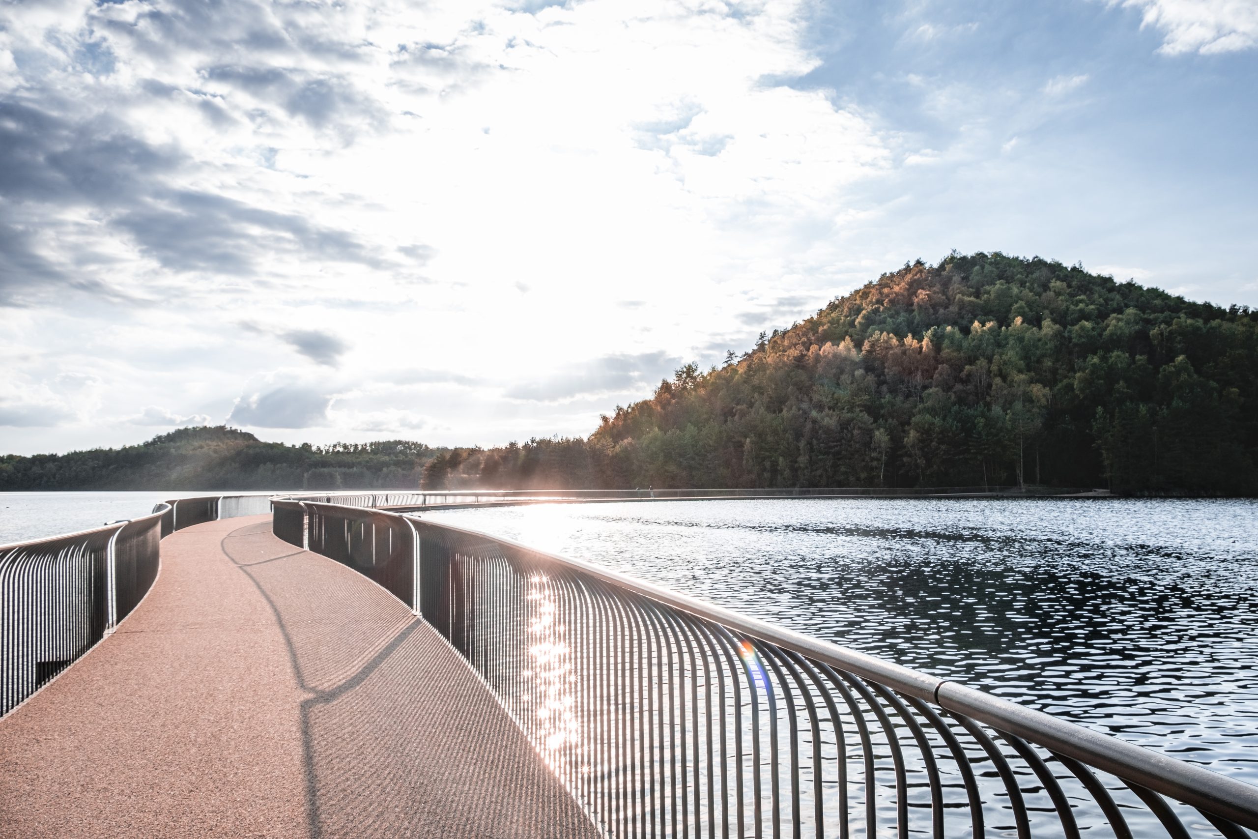
The bridge is conceived as landscape infrastructure rather than an isolated object. Its flowing alignment responds to the scale of the lake while giving cyclists and pedestrians a succession of changing viewpoints. In this way, movement across the water becomes a means of reading a landscape formed first by extraction and now by ecological and recreational reuse.
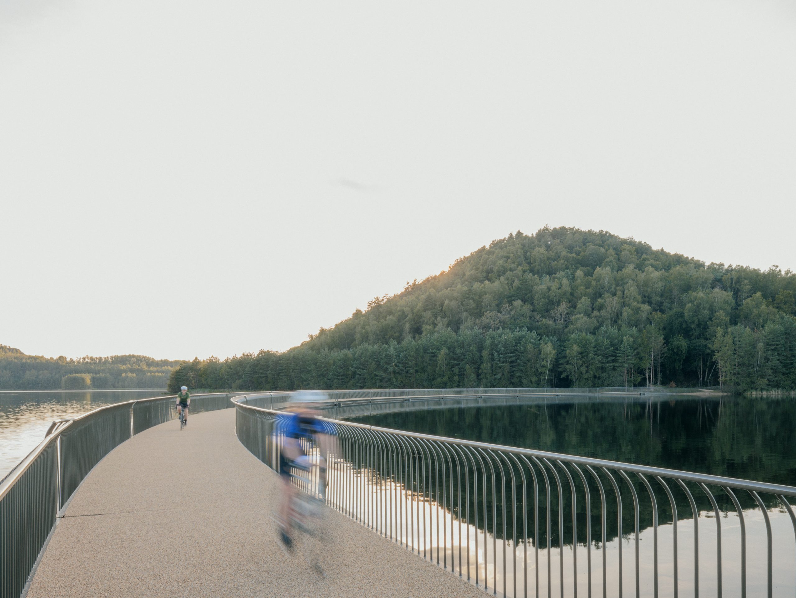
Its apparent simplicity depends on a flexible technical system. The floating structure is assembled from 30 hinged elements that allow it to rise and fall as the water level changes by as much as 130 centimetres. The engineering was developed to accommodate this movement while maintaining stability and cycling comfort, preventing the deck from responding excessively to individual waves.
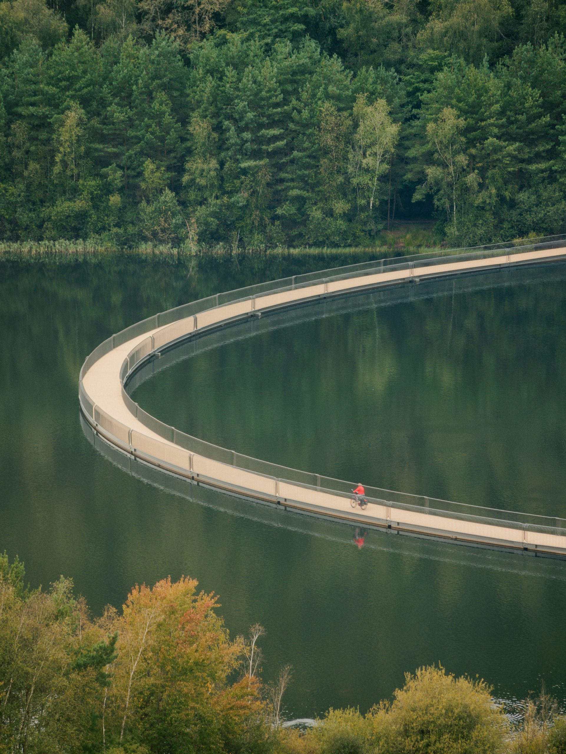
At 400 metres, the project is described by the design team as Belgium’s longest floating bicycle bridge. More importantly for the regional network, it creates a new node between two municipalities and becomes part of Limburg’s extensive cycling routes. The pedestrian connection is also intended to integrate with the walking network of Hoge Kempen National Park.
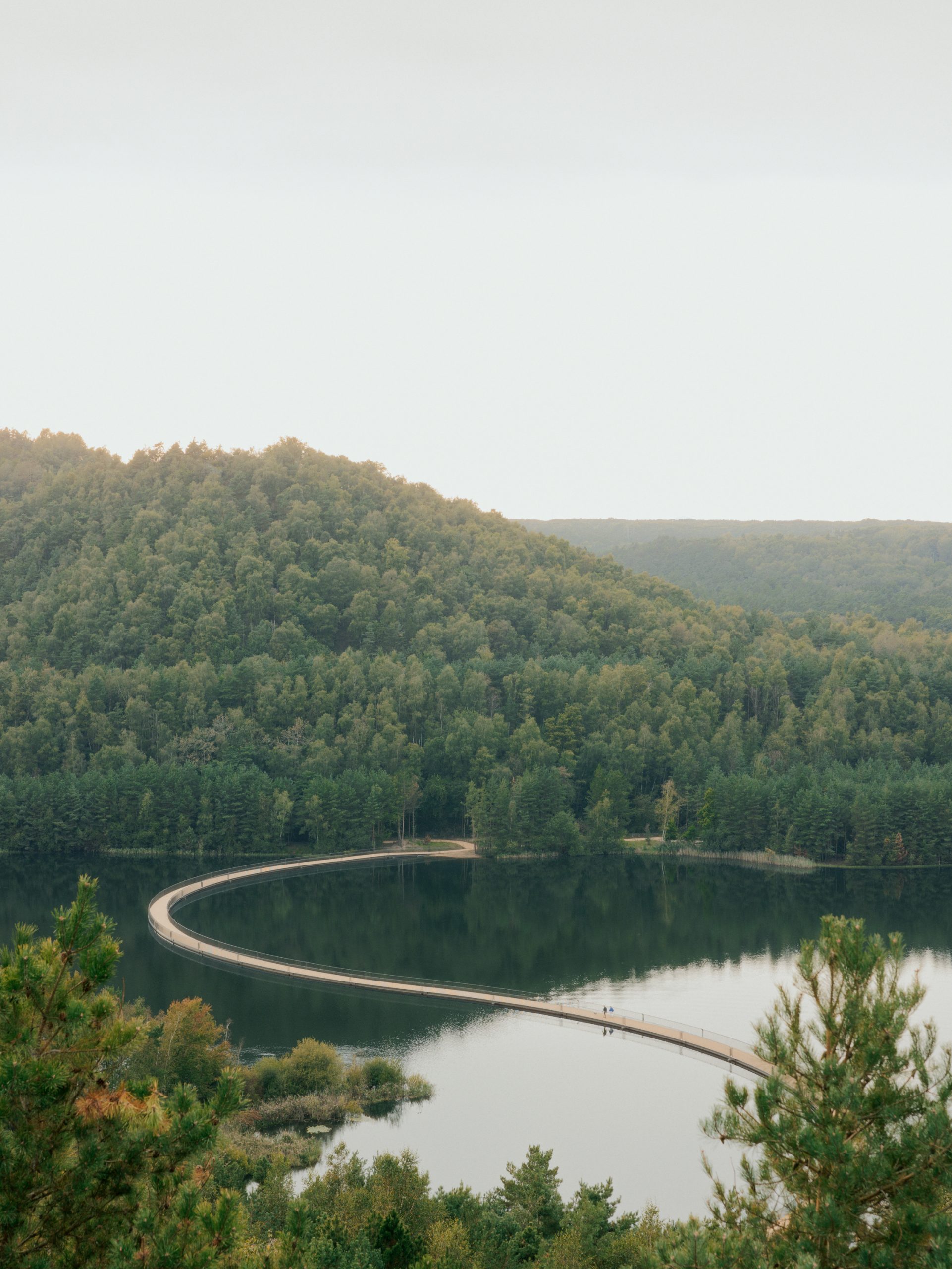
The project positions the traces of mining not as obstacles to be erased but as the physical basis for a new public landscape. The terrils and excavated lake remain dominant, while the bridge adds a precise contemporary layer that connects them. Its curve turns an infrastructural crossing into a prolonged encounter with the site’s industrial geography.
Project Credits
Project: Cycling between Terrils
Designer: BuroLandschap
Study agency: Tractebel
Contractor: HYE
Client: Terhills NV
Subsidizing agencies: Province of Limburg, Visit Limburg, LSM
Location: Nationaal Parklaan 1, Dilsen-Stokkem, Belgium
Period: 2021–2024
Budget: €4,500,000
Photography: Pieter Rabijns, Valentine Van den Eynde, BuroLandschap